Cross Platform Map Library in Node.js

An open source map library for crafting beautify, cross platform mapping software, spatial analysis from a single codebase.
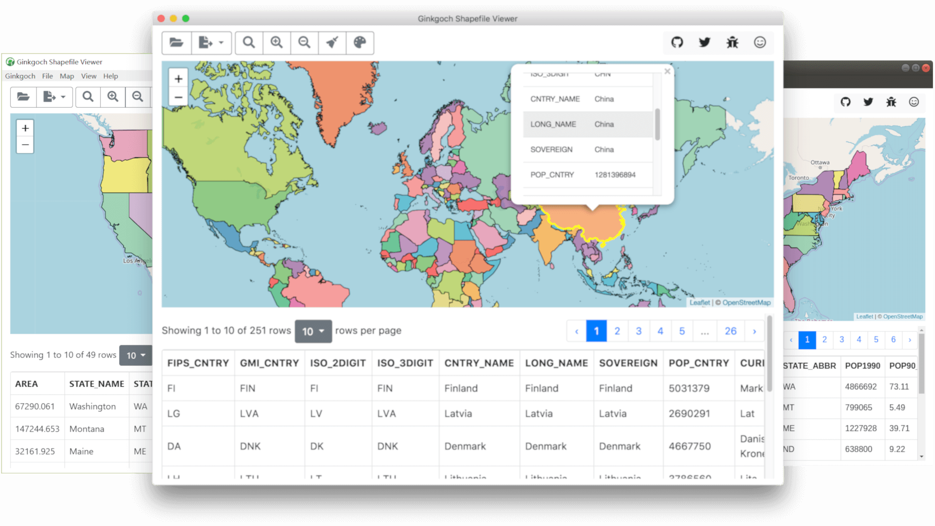
20+ Feature Demos: macOS | Linux | Windows
Need more demos or prototypes? Contact me!

Features

Focus on JavaScript

Use JavaScript only to build mapping software through backend to frontend for GIS web, desktop and mobile applications.

Spatial Analysis/Data Visual

A functional map library for doing spatial analysis and data visualization with your own GIS data, eg. ShapeFile, GeoJSON etc.

Rapid Development

With JavaScript ecosystem, to kick-off a mapping software with Ginkgoch map library and other mature UI/Server frameworks is pretty simple.

Performance and Interactivity

Smoothly visualize millions of geometries on server and compatible with 3rd party client map library.

Scalability

With the power of node.js, it is easy to horizontally scale out your map services for large amount of requests.

Cross Platform

Your mapping software is capable to run on multiple platforms: macOS, Linux or Windows; no native APIs.

Spatial Analysis & Data Visual

For Developers.

  • Spatial Analysis

    Built-in spatial analysis and aggregation functions.

  • Data Source

    Various data source query & enrichment support. Vector format: ShapeFile, GeoJSON, CSV etc.

  • Data Visualization

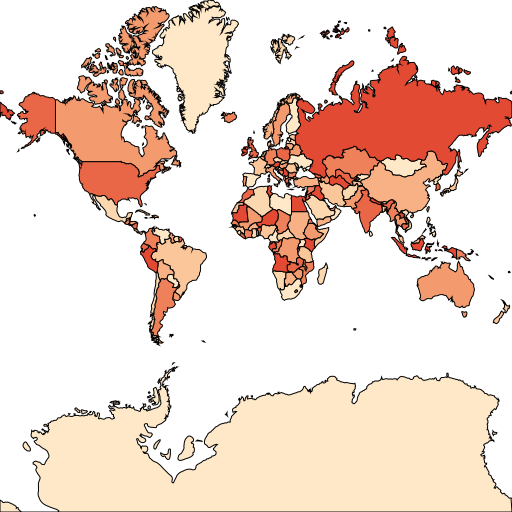
    Vector data server rendering with thematic styles.

  • Core APIs

    Powerful low level module to make GIS solution easily.

Cross Platform

For Developers - With the power of Node.js, Ginkgoch map library is capable to build map software across desktop, command tools, services as well as mobile apps with one codebase.

  • Desktop Application

    With Electron, NW.js, Carlo, etc. frameworks, it is able to build cross-platform desktop applications for GIS. Download the following feature demo executable for more detail.

  • Web Application & RESTful APIs

    With KOA, Express framework or Vanilla JavaScript, it is able to build cross-platform rich web applications or a set of RESTful APIs for the applications that isolates the frontend and backend.

  • Mobile Application

    With React Native framework, it is allow to build native mobile GIS applications for iOS and Android.

Serve Your MAP

For Ops & Developers - A mapping system allows you to build and share your maps, prototypes and APIs to the others without writing any code. Just prepare your data and set styles. Then your map and APIs are ready to use.

  • Open Source

    All the library and its extensions are free and open sourced.

  • Dockerize

    Docker and docker composer are available. Easy to deploy.

  • Cluster

    Cluster mode support for better performance and load-balanced.

  • Try with Docker Compose

    curl -o docker-compose.yml https://ginkgoch.com/node-map-server/docker-compose.yml --insecure && docker-compose up
Showcase

Service & Consultant

For Marketing & Developers.

  • Free

    All source code are free to use now.

  • Respond

    It is my part-time project and I can only promise to respond questions when I'm available.

  • Contribution

    The mapping library is extensible, any contribution on the data analysis or data source support are welcome.

  • Request Assistant

    If you require a prototype, suggestion or any GIS related questions, please feel free to contact.

Latest Events

Ginkgoch Recently Updates. Welcome to my blog.

Getting Started

Step 1: Follow setup for dev environment
Step 2: Install Ginkgoch Map Library
npm install --save ginkgoch-map
Step 3: Explore development guide for more features

Contact & Request

Need to know more? Leave me message for any questions, requirements, prototypes and suggestions.