Make Cross Platform Mapping Software Easy

Create a nCoV Coverage Map of China

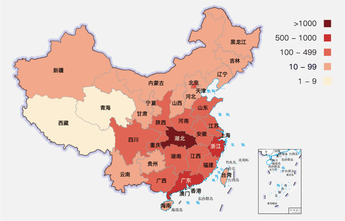
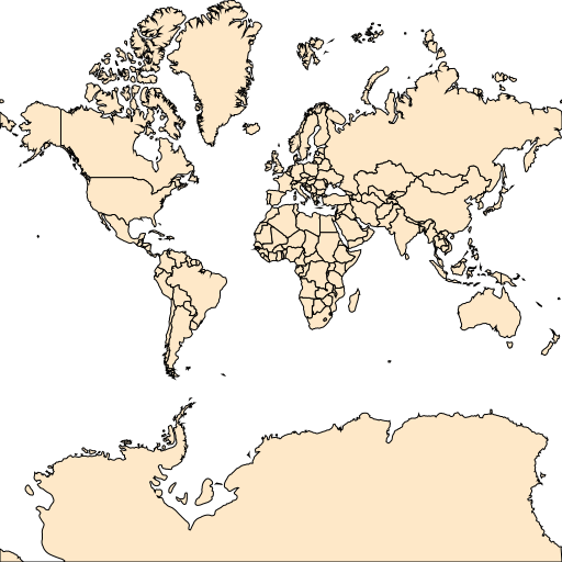
The beginning of 2020 is full of unfortunate news. The spread of new pneumonia - nCoV, Kobe’s gone … It hurts me all the time. In order not to disturb the country, I stayed at home for a few days in the new year. From time to time, pick up your phone and observe the spread of the disease. The following map is a typical mapping software that helps me to know the situation.

Continue reading

Build a XYZ Map Server with MAP Library

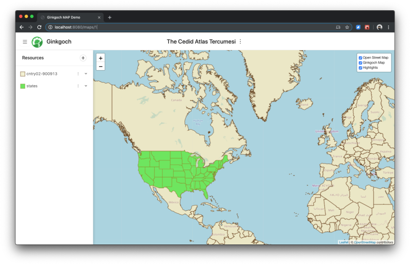
In the previous page: Quick Started Demos for Map Core, I introduced the basic features of Ginkgoch Map Library. It allows developers to draw a map with shapefiles or features with thematic styles, then store it as an image on disk. It is a pretty simple and pure demo which could only guide to build some console utilities. But Ginkgoch Map Library is far more powerful than that for crafting web mapping software.

Continue reading

Quick Started Demos for Ginkgoch Map Library

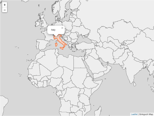
This page represents several simple demos for core functions of Ginkgoch Map Library. In this page, I won’t introduce any other web, desktop or mobile frameworks to build rich UX application; but only use few lines of code to show the feature of its mapping capabilities. Simple features are basis of building complex mapping software, isn’t it?

Continue reading

Shapefile CLI v1.0 Released

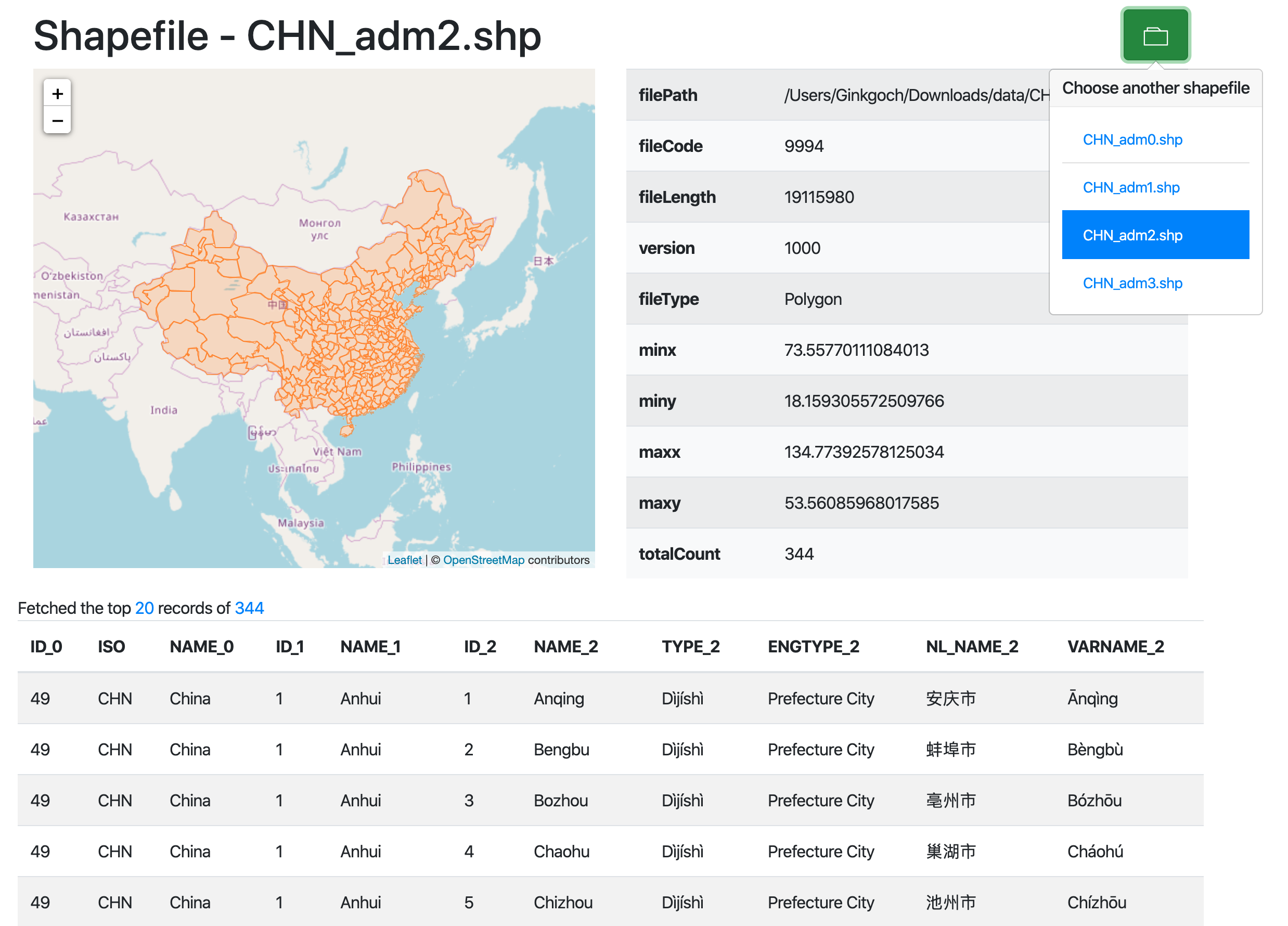
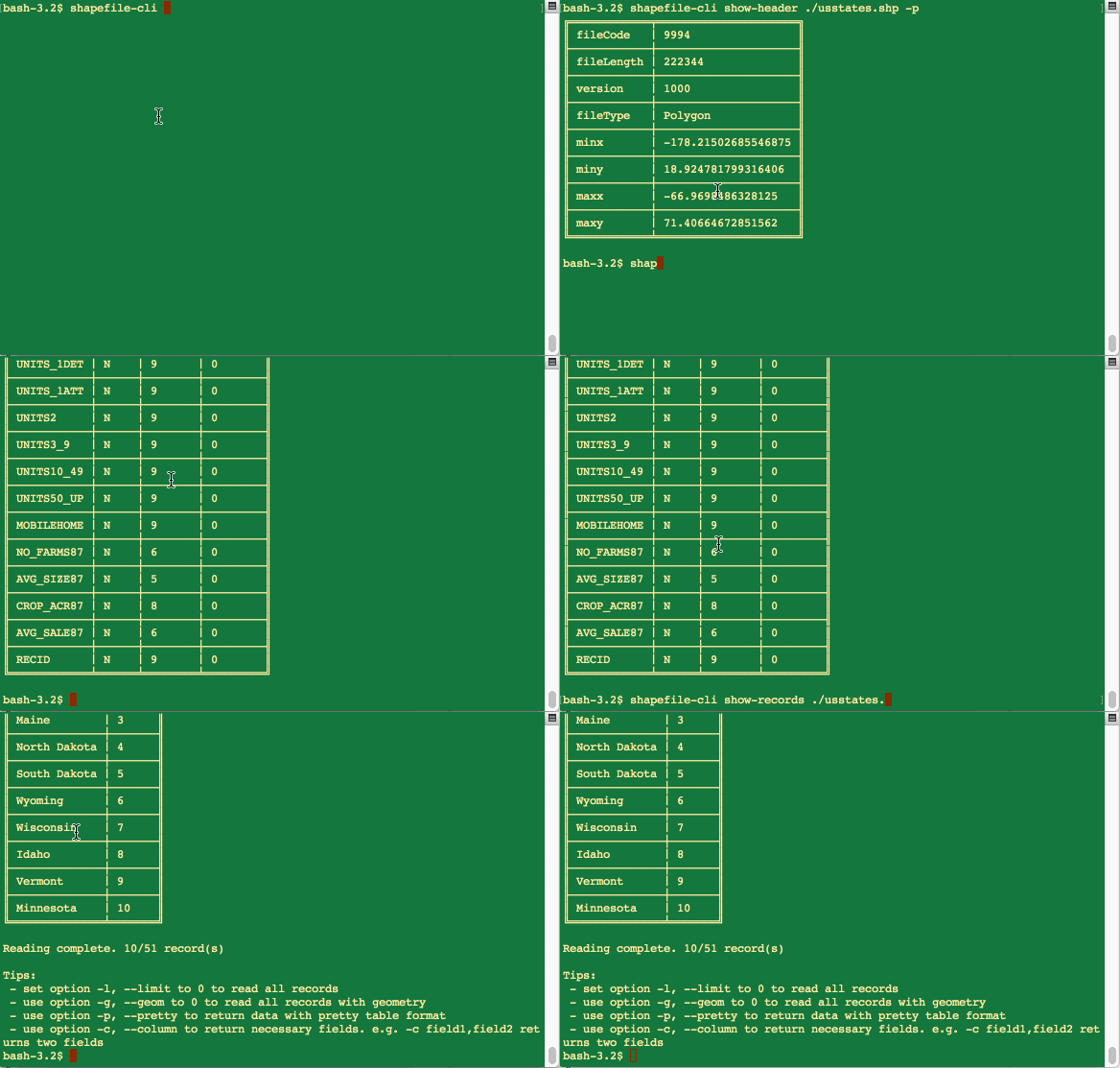
Sometimes, when we want to peek a shapefile, see what’s the shape type it is, how many records it has, or find out what properties it contains. There are some free tools to visualize it. But most of the tools are too heavy or maybe not possible to support multiple platforms such as macOS or Linux. Here is a cross platform command line tool to inspect a specified shapefile on our local machine with Ginkgoch map library. It provides functions to inspect a specified shapefile’s header, fields, records etc. You could see, it is totally free and open source. Enjoy it!

Continue reading